
Clearcreek Township ZIP Code Coverage
Four delivery postal codes appear in the Warren County water-service-line inventory for Clearcreek Township. That is evidence that each one serves at least some Township addresses. It is not an exhaustive United States Postal Service boundary map, a list of residents, or proof that every address with the same delivery label falls in the same government jurisdiction. The individual address remains the unit to verify.
| ZIP code | Verified Clearcreek Township clues | Post office | Postal note |
|---|---|---|---|
| 45066 | Township Government Center and Fire/Police addresses; Round Hill Court, Woodgrove, Country Brook, Locust Grove, and Turning Leaf appear in the water inventory | Springboro Post Office, 55 S. Pioneer Boulevard | Primary Springboro area ZIP, not a Township boundary |
| 45036 | Vicki Lane, East Pekin Road, Bunnell Hill, Riley Wills Road, Orchard Way, and Cobbler Court occur in the water inventory | Lebanon Post Office, 230 New Street | Lebanon delivery geography reaches northern and northeastern rural Township addresses |
| 45068 | Clearcreek Township Line Road addresses appear in the water inventory | Waynesville Post Office, 235 Miami Street | Especially relevant near the Wayne Township boundary |
| 45458 | A Clearcreek Township address on Christopher Drive appears in the water inventory | Dayton, Centerville, and Washington Township-associated postal geography | Strong local example of postal and jurisdictional mismatch |
The Clearcreek Township ZIP code directory therefore starts with documented delivery clues, not a claim that these four ZIPs draw a complete Township outline. A final postal check and a separate parcel or jurisdiction check are both necessary.
45066 and Clearcreek Township
Postal code 45066 includes the Township Government Center and Fire/Police addresses, along with the listed water-inventory streets. Its post office is at 55 South Pioneer Boulevard in Springboro. These facts explain why 45066 and a Springboro mailing name appear frequently in Clearcreek Township research. They do not convert the ZIP into a Township line, city limit, tax district, court boundary, or property boundary.
The distinction has a practical effect. Springboro City and Clearcreek Township are separate governments, even where the same postal name appears. The City's do-not-solicit program excludes Clearcreek Township addresses, which is a local example of why a Springboro-style mailing address cannot prove City jurisdiction. Check the relevant record keeper instead of relying on the label printed after the street name.
The Township's community calendar illustrates the public Township setting that can share postal geography with nearby Springboro labels.
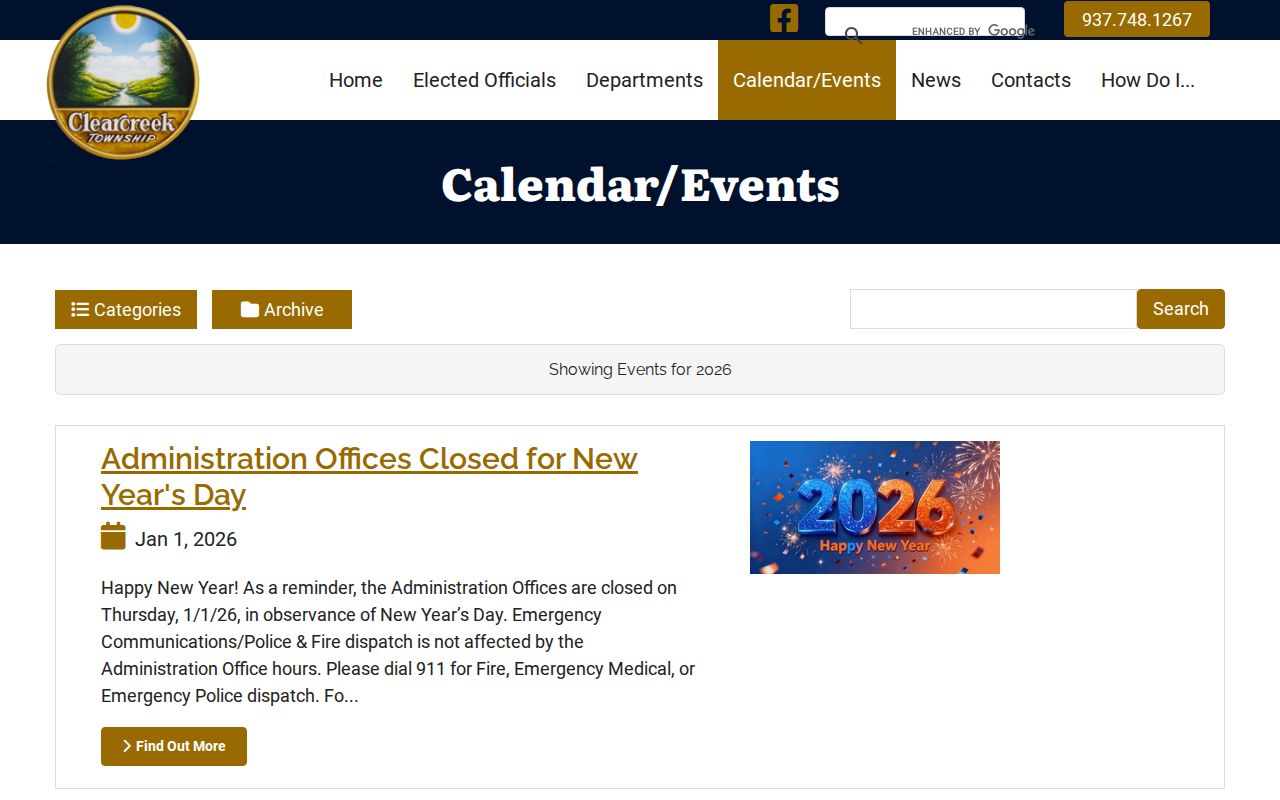
A calendar lists public events, not parcel boundaries, delivery routes, or a directory of people at the addresses served by 45066.
Clearcreek Postal Areas 45036 and 45068
Clearcreek Township's northern and northeastern delivery geography can be Lebanon rather than Springboro. The water inventory ties 45036 to Vicki Lane, East Pekin Road, Bunnell Hill, Riley Wills Road, Orchard Way, and Cobbler Court. The Lebanon Post Office is at 230 New Street. Those are address examples from the inventory, not a statement that all of those roads lie wholly inside one postal or civil boundary.
Postal code 45068 has a narrower documented Township clue: Township Line Road addresses. Its Waynesville Post Office is at 235 Miami Street, and the road is meaningful near the Wayne Township boundary. The road reopened after reconstruction in July 2026, but its delivery label still must be checked address by address. Postal routing and a boundary road answer different questions.
Note: A ZIP narrows an address search, but an exact house number, parcel, and current jurisdiction still require verification through the proper postal and county tools.
45458 and Clearcreek Jurisdiction
The Christopher Drive entry in the water inventory is the clearest local warning against equating postal geography with civil geography. It is a Clearcreek Township address carrying 45458, a ZIP associated with Dayton, Centerville, and Washington Township postal geography. A geographic name on mail is designed for delivery. It does not establish the municipality, Township, county, tax district, school district, court coverage, property owner, or household at the address.
Use 45458 as a prompt to run two separate checks. USPS confirms how the address is formatted and delivered. The Warren County Auditor and GIS viewer identify parcel and government fields. If those sources point in different directions from a mailing label, preserve the exact source, date, and field rather than forcing one geography to stand for all the others.
Find Residents in a Clearcreek ZIP
Use a ZIP to organize property research, then keep the result in its proper lane. The Warren County Auditor's advanced search accepts both Township and postal criteria. It returns property-oriented fields such as account number, owner name, parcel number, physical address, subdivision, and lot. It does not establish everyone who lives at an address. The GIS viewer then helps review the mapped parcel and its Township or municipality fields.
- Enter the full street address in the USPS address lookup and record the postal address and ZIP returned.
- Open the Warren County Auditor Advanced Search and use its postal or Township criterion, or both, for a property-oriented result set.
- Review the resulting owner, parcel, physical address, subdivision, and lot fields, then narrow to an exact address or parcel before treating a match as relevant.
- Open the Auditor Parcel Viewer to check the mapped parcel and jurisdiction fields; a ZIP filter was not documented in the viewer controls.
- Use a voter lookup only after identifying a person. Warren County's public voter tool is name-first, not a ZIP or street browser.
Once a ZIP result narrows to a street, the Clearcreek Township Street Directory covers the address-based county-record workflow. It should not be replaced by a ZIP-wide property list.
Search Clearcreek Postal Criteria
The Auditor's advanced form is the verified postal-capable county search tool. Its dynamic criterion, comparator, and value controls accept ZIP and Township as separate optional criteria, along with ownership, parcel, municipality, and other property fields. Use a focused criterion first, then inspect the actual result fields. The record is a parcel summary, not a list of current occupants.
| Postal ZIP | Advanced criterion; optional. Use it to narrow property results by postal delivery area. |
|---|---|
| Township | Advanced criterion; optional. Use Clearcreek Township separately from the ZIP value. |
| Owner Name | Advanced criterion; useful only for a property-interest search, not proof of occupancy. |
| Parcel Number | Advanced criterion; connects a known parcel to the property record. |
| Municipality or City/Village | Separate advanced criteria. Do not substitute either one for a postal ZIP. |
| Results | Account number, owner name, parcel number, physical address, subdivision, and lot, with list, filter, sort, and export options. |
Recorder AVA is a later property-history step, but its current configuration has address, municipality, and subdivision search disabled. Use its party, parcel, legal, date, document, and book/page routes after a parcel or party is known, not as a general ZIP search.
Clearcreek Township Address Terms
Address records use several labels that look alike but serve different purposes. Keeping them separate prevents a postal search from turning a delivery result into an unsupported jurisdiction or household claim. The Auditor and GIS viewer distinguish property and mailing-related fields; the Recorder preserves legal and property descriptions; older maps may use a landowner, road, or settlement name instead of a modern street number.
- ZIP+4
- Extra delivery digits that refine a postal address. They do not define a Township, city, parcel, or tax district.
- PO-box ZIP
- A ZIP used for post-office-box delivery. No such Clearcreek-serving ZIP was verified in the research.
- Unique ZIP
- A ZIP assigned to a single organization. The research did not establish a local example.
- Carrier route
- A postal delivery sequence, not a municipal boundary or resident roster.
- Situs or physical address
- The place where a parcel is located. It is distinct from where correspondence is sent.
- Mailing address and legal description
- The mailing address receives tax or notice correspondence; the legal description identifies land by recorded lot, metes and bounds, section, book/page, or similar terms.
Clearcreek Postal Search Limits
Not every county portal can search by ZIP. The Auditor Advanced Search has both Township and postal criteria. The parcel viewer supports address, parcel, and account mapping but has no documented ZIP filter. The Warren County voter lookup starts with a name and returns address or precinct after a match, not a ZIP-wide browse. Recorder AVA permits parcel, legal, party, date, document, and book/page work, while its address, municipality, and subdivision searches were disabled in the inspected configuration.
These limits shape a sound order of work: confirm the address with USPS, narrow the parcel set with the Auditor, inspect the parcel in GIS, and use a recorder or voter result only for the record type it actually supports. Ohio's Public Records Act provides an additional request route for records held by public offices, but it does not turn a ZIP into a complete people directory.
Clearcreek Postal History Clues
Postal codes are recent compared with local land and settlement history. Clearcreek Township was created on October 17, 1815 from Franklin and Wayne Township territory. Older material may use Springborough, Springboro, Red Lion, Westfield, Ridgeville, Pekin, Utica, Dodds, Five Points, Kitchener, Merritstown, or Venable. Utica changed to Dodds in 1881. These labels are useful search synonyms in maps, newspapers, catalogs, and deeds, especially where a modern ZIP gives no useful historical trail.
The Springboro Area Historical Society's speakers and events material reflects the ongoing local history work that preserves place-name and cemetery context.

Historical programming can point to source collections, but a place name still needs to be reconciled with the parcel and address records for the period being researched.
Clearcreek Postal Labels and Jurisdiction
Clearcreek Township lies in north-central Warren County, with Montgomery County to the north, Wayne Township to the east, Turtlecreek Township to the south, and Franklin Township to the west. Springboro is an incorporated place associated with the Township, but City, Township, county, USPS delivery area, tax district, parcel, and court jurisdiction remain separate systems. County actions in 2023 and 2025 also adjusted or extended Clearcreek and Springboro boundary treatment after annexation of Franklin Township land.
Use the ZIP code directory as an address-sorting tool, then verify the exact thing being asked. USPS answers postal formatting. The Auditor and GIS viewer answer parcel and local-government fields. The relevant city, Township, county office, or court answers its own jurisdiction and records question. That distinction is essential when an older address carries a different City or Township label from a related present parcel.
Clearcreek Township's zoning invoice scam alert is a local reminder that real-looking parcel numbers, zoning language, and public details do not authenticate a bill or payment instruction.
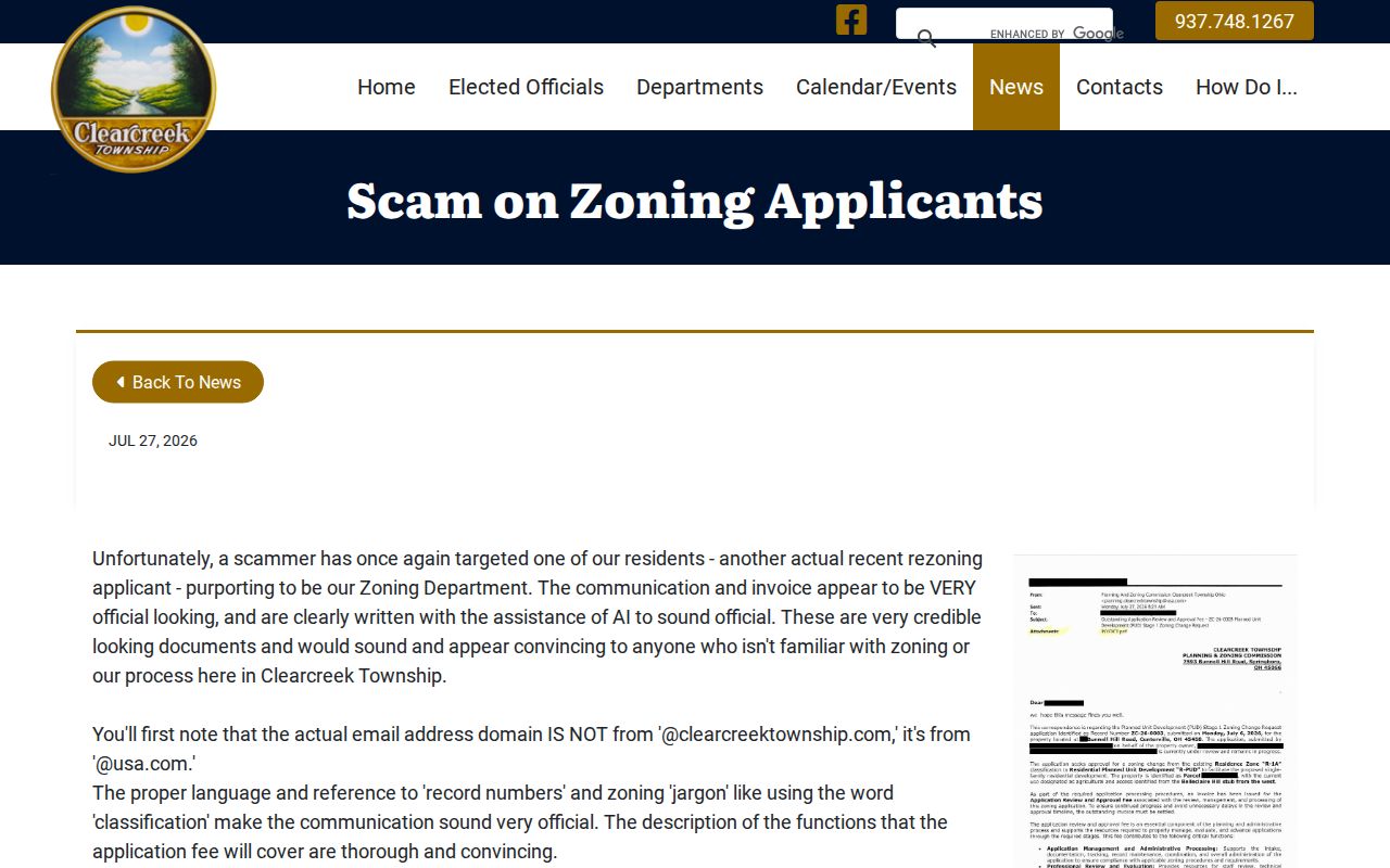
The Township says authentic application fees are never requested by wire transfer and directs verification to 937-748-1267, option 1.
Note: Postal, parcel, and jurisdiction results should be recorded separately, then confirmed with the office that holds the record before a decision is made.