
Identify Clearcreek Township Neighbors by Block
A Clearcreek Township block is best researched as a set of contiguous parcels. The parcel map supplies the physical starting point. The Auditor fills in property facts, and Recorder AVA can explain a recorded interest or land transaction. A voter record comes later and only after a name query returns an individual record. Permit and association material can add a date or community layer, but neither is a household list. The source and its limit matter as much as the name it returns.
| Source | What it shows about a block | Access |
|---|---|---|
| Warren County GIS parcel viewer | Parcel polygons, owners, mailing fields, map layers, and adjoining or related parcels | Public map viewer; mailing is not residence |
| Warren County Auditor | Property summary, owner, situs, legal description, account, and sales data | Public property search; no complete occupant field |
| Recorder AVA | Recorded parties, documents, dates, legal descriptions, and parcel-linked interest history | Public index; a recorded party is not current occupancy |
| Warren voter lookup | A matching voter record and other voters with the same address after a result | Name first; no whole-street or whole-block tool |
| City permit archive or Township GovWell | Address-based property work, applications, reviews, and public activity | City and unincorporated Township routes differ |
| Association and HOA layer | Organization news, documents, or a contact path | Not a public household roster; member areas may be gated |
Recorded ownership, tax-mailing data, and a current voter result should never be collapsed into one claim about who is in a home. The narrow block method preserves that distinction.
Map Clearcreek Township Neighbors Through Parcels
The immediate-block method begins in the Warren County Auditor Parcel Viewer. Find the subject parcel by account number or parcel number, zoom until boundaries and nearby polygons are clear, and select each adjoining polygon. Repeat only for contiguous parcels. The map is built for physical relationships, which makes it more reliable than treating a similar street address or ZIP as proof of proximity.
- Locate the target parcel in the viewer and record its account number, parcel number, situs address, legal description, and displayed owner data.
- Zoom to the boundary context, click an adjoining polygon, and open its parcel facts. Use Find Related Parcels after a selection when that tool fits the property relationship.
- Open the same parcel in the Warren County Auditor Property Search for its property summary and Sales History.
- Repeat for the contiguous parcels. If a recorded interest needs context, search that parcel in Recorder AVA.
This yields a set of adjacent parcels and recorded owners, not a declaration that those owners are the people who live next door. For a full named-street record chain, use the Clearcreek Township street directory process.
Note: Map adjacency is a property relationship, while mailing fields and owner names answer separate record questions.
Read Clearcreek Township Block GIS Details
GIS displays more than an outline. Current parcel fields include Account Number, Parcel Number, Owner Name, Address Line 1 and 2, Mailing Name, Mailing Address lines, Mailing ZIP, Property Description, use and class descriptions, Legal Description, Acreage, Subdivision, Lot Number, Book, Page, Tax District, Neighborhood ID, routing number, school district, census tract, Township Name, Municipality Name, and parsed street fields. The viewer can export selected-parcel information and offers Layers, Legend, Draw, Measurement, Print, zoom, home, and locate tools.
A mailing destination is a tax or notice route. It may be a post office box, agent, business, remote owner, or other correspondence address. It does not prove a person resides on the parcel. The same caution applies to a property description or a neighborhood ID, which organize land records rather than identify a household.
If a map layer fails or needs official interpretation, Warren County GIS accepts custom data and map requests. The form includes parcels, roads, city and township boundaries, zoning, school districts, voting precincts, flood layers, and aerial imagery. The office is at 406 Justice Drive, Room 318, Lebanon, phone 513-695-1530, weekdays 8 a.m. to 4 p.m.
Separate Clearcreek Township Residents From Owners
The Auditor summary identifies a current owner, property address, legal description, tax district, use, building and value information, transfers, and Sales History. The Recorder can then identify the parties and legal data attached to a conveyance. Those are useful clues for an estate question, a property-history check, or a civic inquiry. They are not evidence that a recorded owner is an occupant, and they do not list family members, guests, or other people connected to a home.
When a parcel’s history matters, use the Auditor’s date, grantor, grantee, consideration, conveyance number, and conveyance type as the handoff to AVA. Search the prior party, parcel, book and page, or older date range. Legal descriptions and plats are safer than a modern street line when lot patterns or road names change.
Check Clearcreek Township Neighbors Voter Records
The Warren County voter lookup starts with a required last name and optional first name. It does not provide address, ZIP, or date-of-birth search fields, so it cannot enumerate a block. An individual matching result can display the name on file, residence and mailing address with same-as indication, party, voting history, precinct, polling place, voting districts, and Other Voters with Same Address.
The same-address link is limited to the returned record. Ohio law protects Safe at Home and other excluded voter information under R.C. 3503.13. Voting history is participation information, not a record of ballot choices. The Board of Elections at 520 Justice Drive in Lebanon, 513-695-1358, is the custodian for a specific public-record question.
Read Clearcreek Township Association Layer
Community organizations can explain the local layer around a block, but their public material has real limits. A public newsletter, governing document, meeting notice, or contact-submission path may establish that an association exists. It does not release a member directory. Password-protected portals and resident-only contact tools should remain within their stated access rules.
| Association or source | Clearcreek connection | Public status |
|---|---|---|
| Stone Ridge Owners Association | Woods, Views, and Meadows in Clearcreek Township | Newsletters and site are public; Members and Owners Portal is gated |
| Heatherwoode Golf Community HOA | Nearby Township and Springboro neighborhood layer | Resident contact-directory submission path; member information is password protected |
| Farms of Heatherwoode | 163-home association | Governing documents, news, and forms are public; no household list is established |
| Clearcreek Township calendar | Lists meetings for Stone Ridge, Glenridge, Beck Ridge, Silver Lake, Shadow Lake, Fieldstone, Woodland Greens, and Greens of Bunnell Hill | Evidence of community meetings, not a member roster |
The Township calendar documents seven neighborhood meeting names, not an association directory. No congregation, block-watch, or civic-club roster was verified as a publicly searchable Clearcreek record.
Compare Clearcreek Township Neighbors Sources
Official records describe the record they keep and point back to the custodian. Commercial neighbor-finding products are a separate category. They may combine public and other data, but can be stale, incomplete, paywalled, or difficult to verify. An address question is better answered by comparing the official parcel, recorded-document, and voter sources that match the question.
| Source category | Strength | Limit |
|---|---|---|
| Official property and land records | Shows the custodian’s parcel, legal, ownership, and recorded-interest data | Does not establish every current occupant |
| Official voter record | Can provide an individual, name-first registration result under Ohio’s public-display rules | Protected information remains excluded and no block search is provided |
| Commercial neighbor tools | May present a broad compiled lead | Not a custodian record; accuracy, date, access, and sourcing must be checked independently |
For a potential error, contact the Auditor, Recorder, Board of Elections, or other record custodian. A copy from any secondary category does not correct an official file.
Place Historic Clearcreek Township Blocks on Maps
Modern street numbers should not be projected backward without a property bridge. The Library of Congress 1856 Warren County map has landowner mapping and a Springboro inset. Ohio History Connection atlas routes add 1875, 1891, and 1903 county map context. Begin with a landowner, section, road, lot, or legal description, then carry that information into deeds, plats, probate, and later maps.
Clearcreek Township was created in 1815 from Franklin and Wayne township territory. Historical labels can also include Springborough, Red Lion or Westfield, Ridgeville, Pekin, and Utica or Dodds. Those names help find the correct geographic context without claiming that a modern neighbor relationship existed in an earlier record.
Keep Clearcreek Township Blocks Out of Custody Searches
Public correctional and request channels are not neighbor tools. They cannot establish who lives on a block, and no result should be used to identify, track, or expose nearby residents. Each system has a tightly defined custody or request purpose, different coverage, and important gaps.
The Warren County Jail page is a current-custody search, not a neighborhood list.
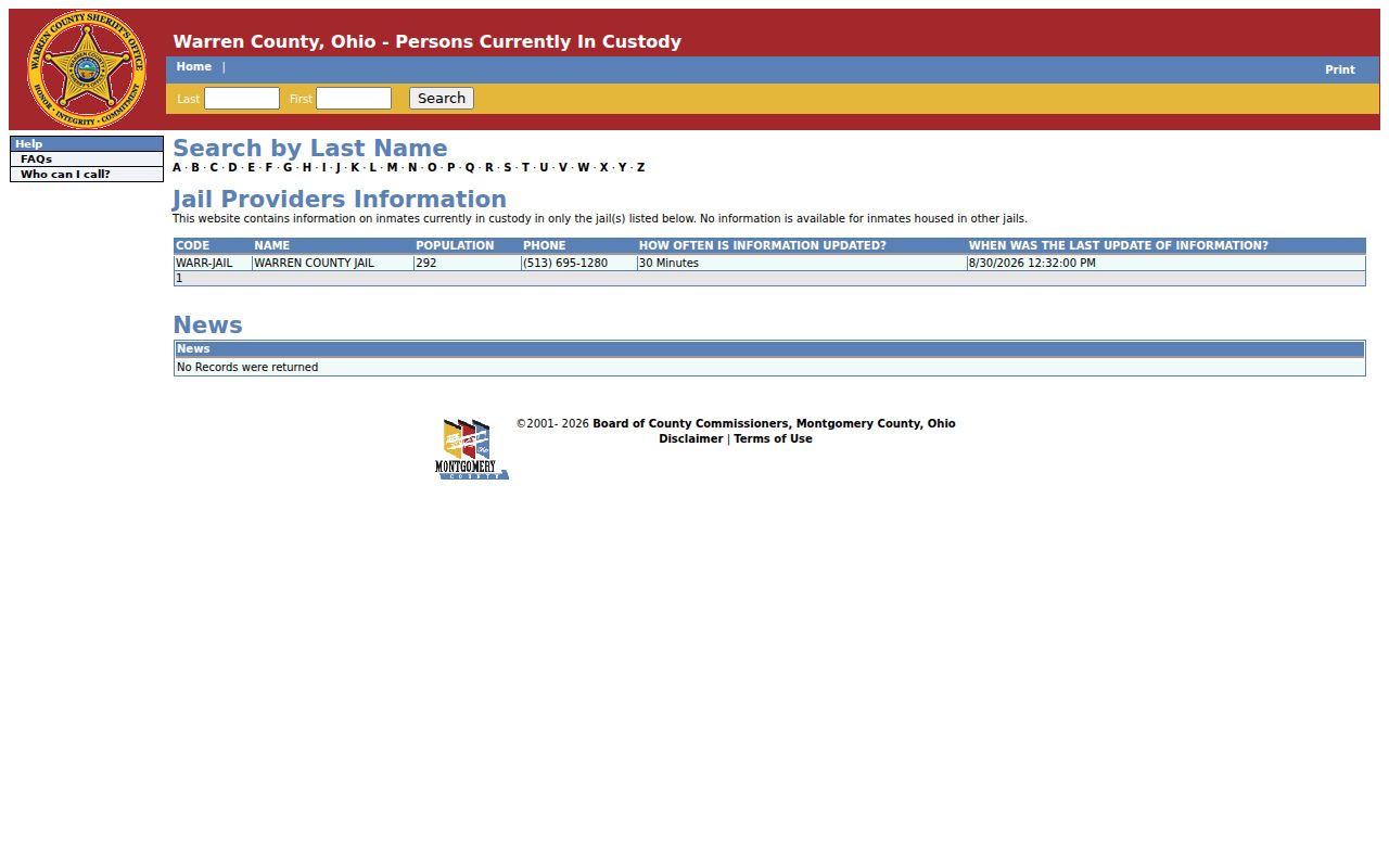
Its Last and First fields and surname browsing concern persons currently listed in that jail only. It is not a historical criminal-record search or a record of local households.
The Ohio DRC Offender Search covers people in prison, under DRC supervision, or judicially released, not every local booking or historic case.
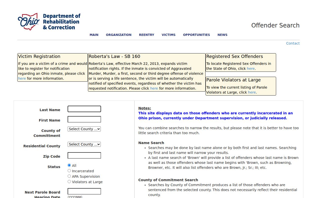
Its optional county, residential-county, ZIP, status, parole-date, and OR-number filters narrow that correctional search. A listed last-reported address is not current verification and does not identify a block.
The Warren County Sheriff request form is a route to ask the custodian for a specific record.
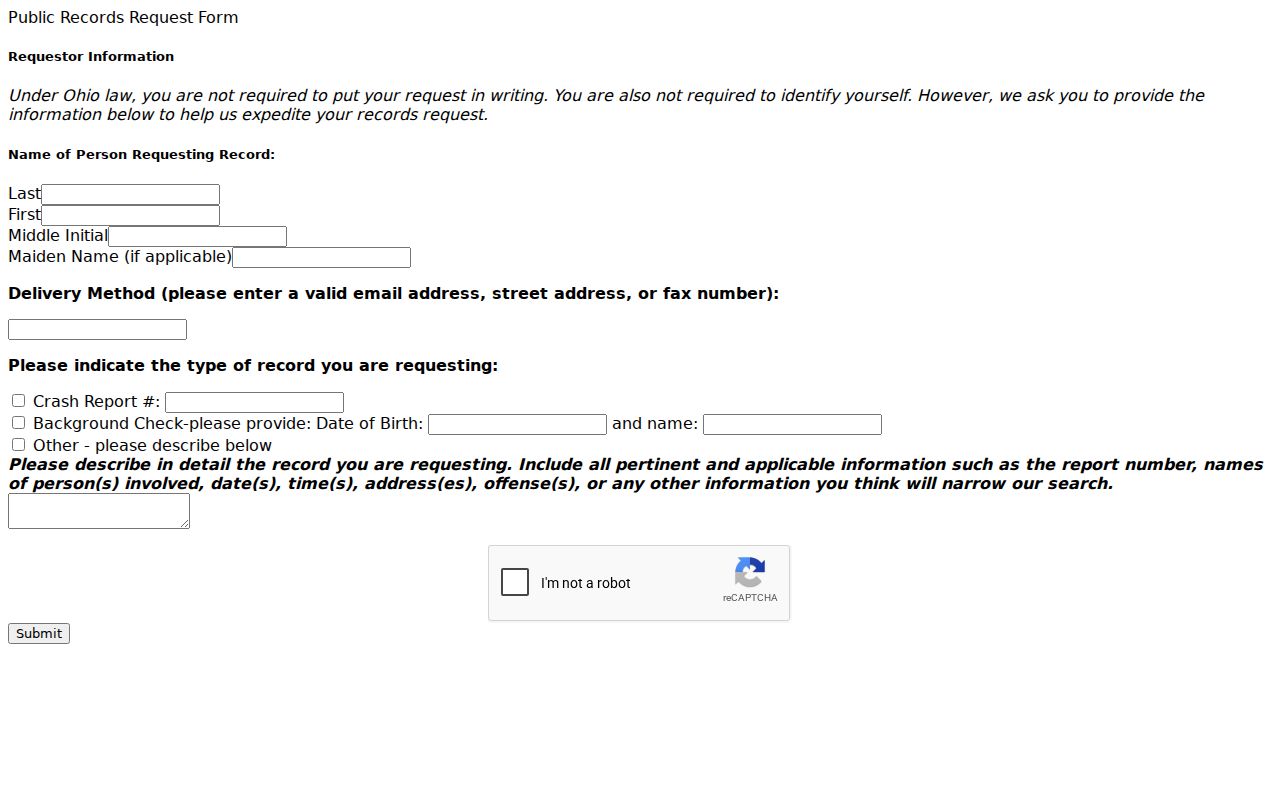
The form asks for delivery information, a record type, and a narrative that narrows a report by names, time, location, or details. Exemptions and redactions still apply, and it is not a neighborhood directory.
The Federal Bureau of Prisons locator is limited to federal incarceration records from 1982 onward.
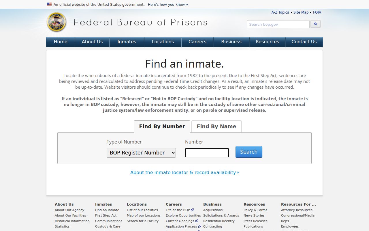
It searches by register number or name filters and may show federal custody information. A released or not-in-custody status does not determine a later location or supervision.
Protect Clearcreek Township Neighbor Privacy
Some information about a block remains private or protected. Property owners are not automatically occupants. Renters and household members are not entered in a public parcel field. Safe at Home and other protected voter or address records must not be sought or republished. Motor-vehicle data, utility customer information, medical material, sealed matters, and other exempt records are not general public address resources.
Use parcel, permit, voter, and association information for lawful personal, civic, historical, estate, reconnecting, or anti-scam purposes. Public availability does not authorize contact, surveillance, or publication of protected information. Verify any record with the responsible custodian before relying on it.
Lawful use. Clearcreek Township neighbor research must respect private boundaries. Ohio law prohibits stalking and telecommunications harassment, and public records never permit threats, harassment, or harm.